ESFF(ES Flora-Fauna) - проведение связей из заповедников и природных охраняемых мест. 
ESFF-0228
EST
Harjumaa, Kuusalu vald, Valkla küla;Harjumaa, Jõelähtme vald, Haapse küla;Harjumaa, Jõelähtme vald, Kaberneeme küla;Harjumaa, Kuusalu vald, Kaberla küla.
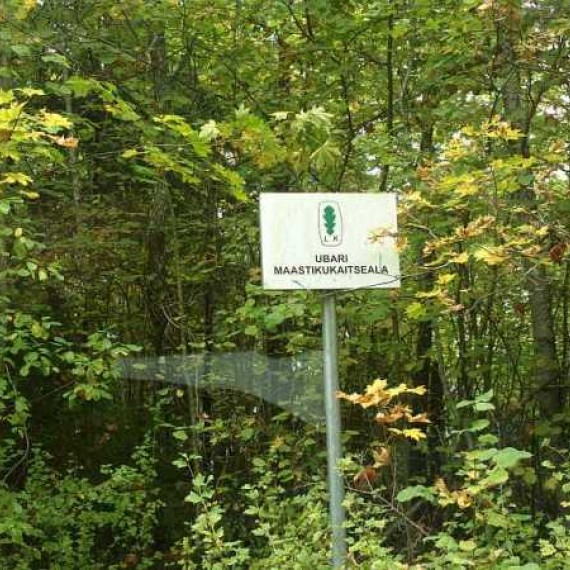
Harjumaal Jõelähtme vallas Kaberneeme ja Haapse külas asuval Ubari maastikukaitsealal kaitstakse üht osa Põhja-Eesti klindist, ning vääriselupaiga tunnustele vastavaid metsi.
Kolga lahe läheduses paiknevale väikesele Ubari maastikukaitsealale (58,5 ha) pääseb Kaberneeme tippu viivaid teid mööda: enne mereni jõudmist tuleb pöörata metsavahelisele kruusateele ning peagi olete kaitseala loodepiiril. Ida–lääne suunas välja venitatud kaitseala hõlmab ligikaudu kahe ja poole kilomeetri ulatuses Põhja-Eesti klindiastangut, nii pangaesist kui ka pangapealset. Astang on üksiti kahe maastikurajooni – Soome lahe rannikumadaliku ja Harju lavamaa piir.
ENG
Location: Harjumaa, Kuusaluvald, Valklaküla;Harjumaa, Jõelähtmevald, Haapseküla;Harjumaa, Jõelähtmevald, Kaberneemeküla;Harjumaa, Kuusaluvald, Kaberlaküla
Harju County, Ubari, Jõelähtme Rural Municipality, Kaberneeme and Haapse Villagea part of the North Estonian Klint is protected in the steppe protection area, and forests complying with the characteristics of the key habitat. The small Ubari Landscape Protection Area (58.5 ha) near the Gulf of Kolga can be reached along the roads leading to the top of Kaberneeme. The East-West stretched area encompasses approximately two and a half kilometers of the North Estonian Klint, both from the Bank Bank and the Bank. Astang is the only border between two landscapes - the coastal lagoon of the Gulf of Finland and the Harju plateau.
ESFF – 0238 Valkla-klindi
The eastern Harju Klint section covers nearly 70 kilometers of the North Estonian Klint in the Maardu and MuuksiKlint Cemeteries, and is characterized by the partial burial of the bank line from 0.5 to 8 km from the sea. This includes a number of clindrums, islands, islands, bays and gorges, including the Kaberla-ValklaKlint Peninsula. The Valklaklint is a 20-40 m high, partially exposed or buried mound with a 1-3 different width terrace. Different types of morphological clinker types can be distinguished on the basis of the gradient structure. Valkla cliff is a Valkla cliff type, and it is the most popular type of bank on the nearly 100 kilometers of the northern bank of Estonia from Tallinn to Palms.
28-09-2017 ES1ACS Добрать до данной позиции оказалось не так то и просто. 14:53. В копилке 65 связей. Хорошо что хоть так. |


